Step 0: Concept
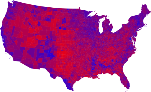
This week I decided to create a "political topography" map. The map
shows the county by county results of the 2008 presidential election.
Higher areas on the map correspond to areas that voted more democratic.
The map data itself comes from a reprocessed version of the purple map.
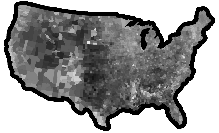
Step 1: Reprocessing
In order to comvert the purple map into a mold I made a few
modifications. To get the "democraticness", I extracted the blue
channel from the image and converted it to greyscale. I then removed
all of the more spindly map features that might break off (sorry, New
Orleans) and added a thick black border around the image to serve as a
perimeter wall on the negative mold. After processing, the image looked
like this:
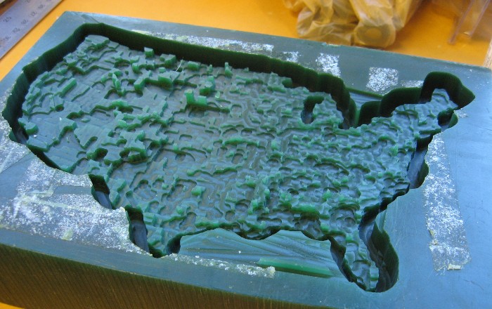
Step 2: Mill the positive mold
I used cad.py and the Modella to mill a 5x8 inch positive wax mold.
I used a .125 inch mill, Zmin -0.4 inches, 16 Z steps, and XY speed 30.
It took about two hours to complete the job with these settings.
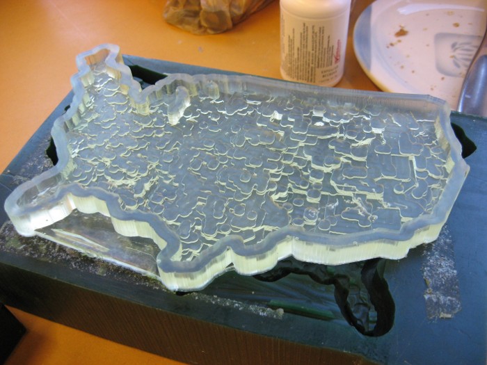
Step 3: Cast the negative mold
The negative urethane mold was cast in the wax positive. It has a few
bubbles but turned out very well.
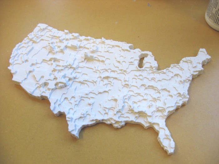
Step 4: The final part
With two molds down, all that was left was casting the final part!
I mixed the Hydrostone and water to a very nice cream consistency
and slowly filled the urethane mold. After curing for about an hour,
I had this:
Over and out.