Battlespace Terrain Reasoning and Awareness – Battle Command

Acknowledgements
Vineet Gupta for hiring me, Chris Stahl for getting me up to speed, Dr. Eric Zimmerman for providing ample opportunities to succeed and Mike Tischler for all his help with random questions.
Press Coverage
Geospatial Intelligence Forum
Directions Magazine
Project Awards
Special Achievement in GIS (SAG Award) - ESRI Conference 2008
ERDC Team Award - 2008
“The advantage of time and place in all martial actions is half a victory, which being lost is irrecoverable.”
- Sir Francis Drake
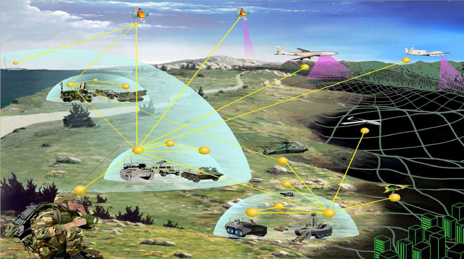
Battlespace Terrain Reasoning and Awareness – Battle Command (BTRA-BC) is an information and knowledge product that captures integrated terrain and weather effects. BTRA-BC also includes predictive decision tools to exploit those products.
Terrain and weather effects represent a fundamental, enabling piece of battlefield information. It supports situation awareness and the decision-making processes within Command, Control, Communications, Computer, Intelligence, Surveillance and Reconnaissance (C4ISR). These terrain and weather effects can alter military tactics, ground and air platforms, sensors and the soldier. Battlespace Terrain and Reasoning Awareness – Battle Command (BTRA-BC) focuses on developing software analytics that create information and knowledge products that capture terrain and weather effects. BTRA-BC also includes the development of predictive decision tools used to exploit those products. The ultimate objective is to empower commanders, soldiers and systems with information that allows them to understand and include the impacts of terrain and weather in their decision making process.
What I did
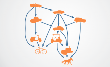
BTRA-BC is a large program that requires an immense amount of accurate data, formatted correctly, in order to execute to completion. Without this input in the correct format, the output is garbage; Garbage in, garbage out. My job was to develop a data conversion tool for the BTRA-BC engine. Simply put, I had to take data in many different formats, convert them all to a standard and output them so the software could continue working. This was all accomplished using Python and ESRI’s model builder.


