Localization Under Canopy
Acknowledgements
Karl Iagnemma for being a great mentor, Chris Brooks for helping formulate an easily implementable plan, Takayuki Nishihata for helping with the LIDAR and Matt McDaniel for volunteering some clustering code.
Related Links
Internal Project Website (Password Required)
MIT Robotic Mobility Lab
“To stay on the map you’ve got to keep showing up on it.”
- Peter Gallagher
Unmanned ground vehicles (UGVs) will play an important role in the next-generation ground forces. Unmanned systems need to be able to detect obstacles and gather environmental data in dangerous environments all while moving autonomously. This project focuses on the classification and characterization of unstructured, vegetated environments from UGV platforms, specifically, the problem of segmenting tree stems from surrounding foliage and calculating stem diameter and spacing.
What I did
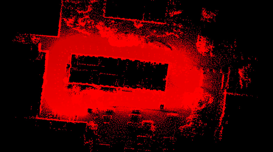
While serving as one of the projects principal investigators, I focused on how to localize a robot moving along the forest floor. Since a GPS signal typically won’t penetrate a canopy, we developed an algorithm that can use extracted tree centers from georeferenced imagery as landmarks. This is a novel approach to the Simultaneous Localization and Mapping sub-problem in the field of robotics and allows us to build an accurate map without using closed loop maneuvers.
